|
Ship's
Log: Updated October 31, 2008
Plantin' Poles and Fillin' Holes
At the last update, the center pole hole was almost completely filled with concrete. Well, now it's filled!
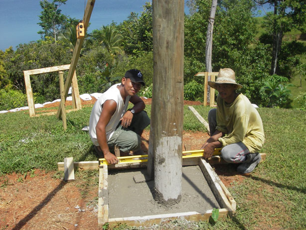
Once filled, it was duly graffitied.
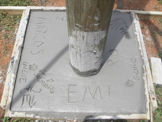
TW (Tracy) signed first (upside down in the picture). Then the regular workers, Marcos and Alberto (Joe), then RO (Micky) and Emi (Emiliano). And even though they didn't help very much, Tracy insisted that Sha (Sharon) and all the pets, Gellie, Indie and Jasmine, get their names and pawprints in stone. What's that Chinese restaurant with the stars out front? It felt like that!
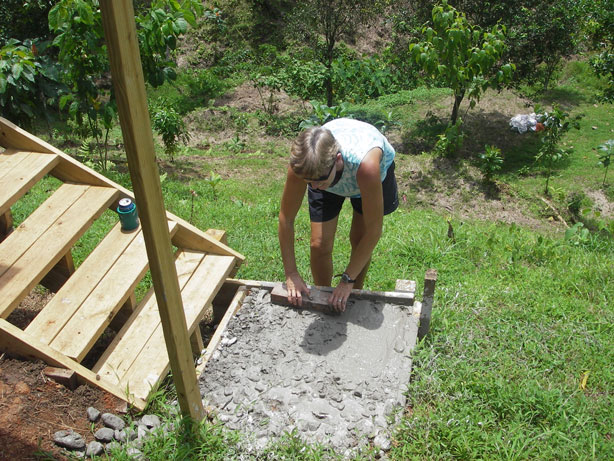
The leftover concrete mixer cleaning water isn't wasted. The messy glop is filling the porch stairs and shower bases.
House Framing Begins!
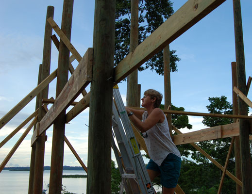
A couple of weeks later, what was once a hilltop of poles is slowly being transformed. That's Tracy explaining how the first floor is going to look.
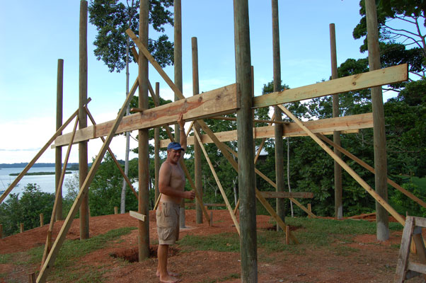
Sharon's trying it from another angle, trying to see the big picture and the view from the first floor!
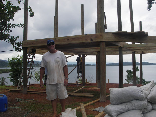
Leaving less to the imagination a couple of days later.
Enjoying New Friends
Just so no one gets the impression that it's entirely all work and no play, we must confess that we did take one Sunday off recently, just for fun. New friends Liz and Laurence, fellow sailors and natives of England who spend their time between here, their home in England, and a canal barge in France, invited us to their Isla Popa home for their going-away party.
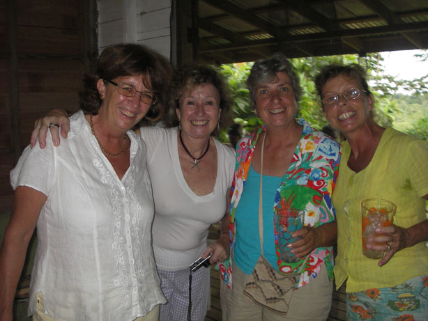
Here, Liz, left, is joined by Caroline, her next-door neighbor on Popa and also in England; Marilyn, also British, who has a home with partner Tony on Isla Cristobal; and Lyn, who recently opened an incredible botanical garden on Bocas, Finca Los Monos.
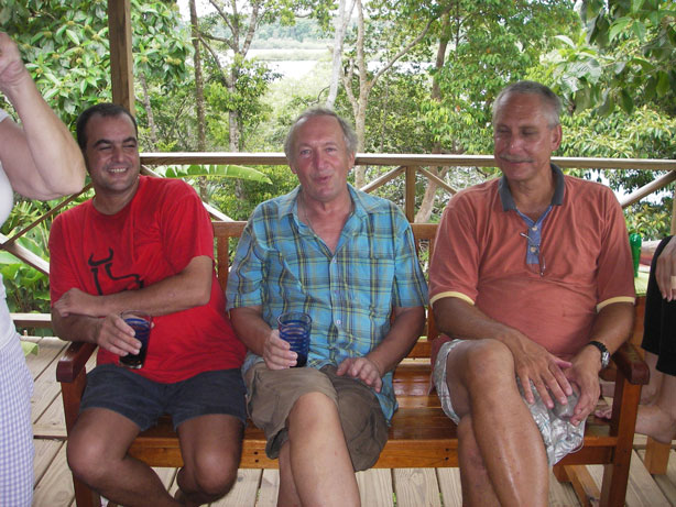
Laurence is flanked by Rollo, owner of the Casbah restaurant in Bocas, and Eric, their neighbor on Isla Popa.
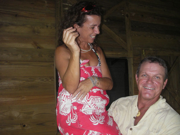
Tracy, true to form, spent some party-time picking up women (or at least one!). In this case, Natalie, from Malta, who has a vacation house a few minutes north of us (by boat) on Isla Cristobal. Her husband Philippe left for home a couple of weeks ago, so Tracy felt safe, I guess!
Joe's Birthday Lunch
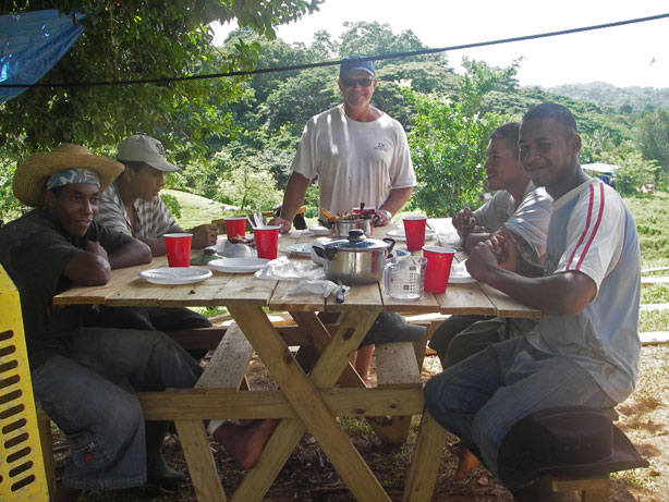
Meanwhile, back at work, Tracy had wanted to reward the regular workers with some recognition of all their hard work, and Joe's 21st birthday on the 25th provided the perfect opportunity. Our next door neighbors, Joe and his family, raise chickens, so Tracy bought three of them and smoked them in the new smoker. Sharon made rice and beans and cornbread and soursop juice. We definitely got the feeling that this was not a normal event for them!
Clockwise from left, Micky, Vicente, Tracy, Marcos, and birthday boy Joe.
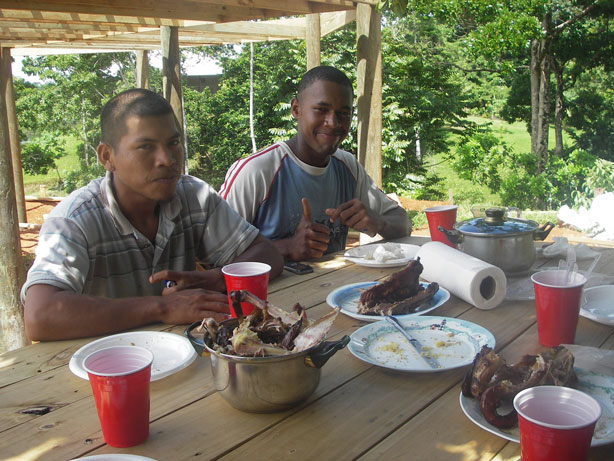
I think they liked the attention--and the food!
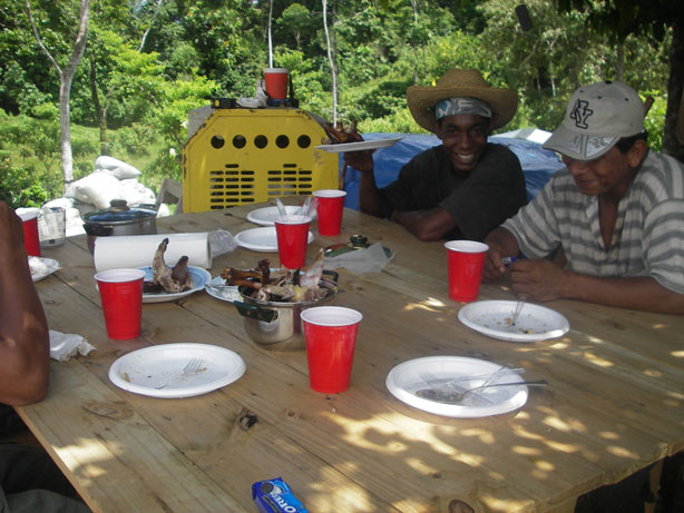
Sharon had actually baked a chocolate cake, but it turned out that the flour had gone moldy (she obviously doesn't bake much!) so it had to be tossed to the fishes. Everyone was perfectly happy with Oreos!
Where Are We, Again? Or, Getting Oriented
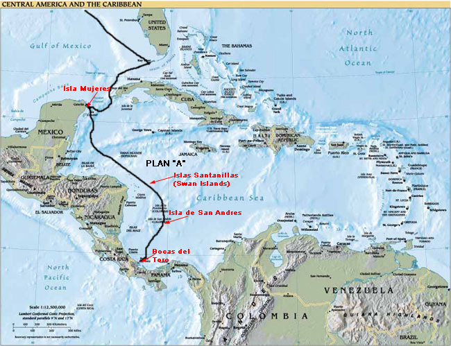
A few folks have mentioned that they don't have a good picture of where in the world we are. Here are a series of maps and pictures that may help. In this Central America and the Caribbean map, south Florida is at the top, and Bocas del Toro, Panama, is at the bottom of our black route line.
Below is a map of Panama. Bocas del Toro is on the left, near the top of the map, on the Caribbean Sea. We are at approximately 9 degrees north latitude, or about 540 nautical miles north of the equator (recall that one degree of latitude equals 60 nautical miles).

To put it in some perspective for our U.S.-based friends and family:
- Miami is about 26 degrees north
- Greensboro N.C. is about 36 degrees north
- New York City is about 41 degrees north
- Boston is about 42 degrees north
- Los Angeles is about 34 degrees north
- San Francisco is about 38 degrees north
- Seattle is about 48 degrees north
Below, the main islands of the Bocas del Toro Archipelago (there are lots and lots more mangrove islands, not shown). Bocas town is shown on the south end of Isla Colon. We've added Cerro Velero and Green Bay to this map, on the south end of Laguna Bocatorito, but of course, Cerro Velero won't show on any other maps, and usually Green Bay doesn't, either.
Almirante is on the mainland, and it is the closest town with a road to anywhere. To get a sense of distance, from Cerro Velero to Bocas town by boat is a little over eight miles, and usually takes us about twenty-five to thirty minutes, depending on the wind and waves. One round trip burns about three gallons of gas. When we say we go to town, we usually mean the half hour boat ride to Bocas town.
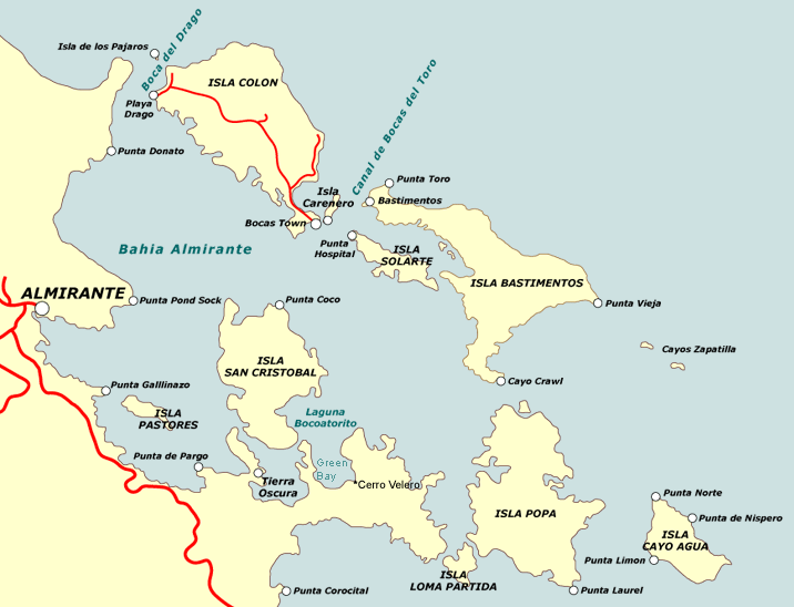
Almirante is twelve miles away, or about forty minutes by boat. It's about ten or fifteen minutes further to go to Almirante, the shopping isn't as good, at least for food and produce, and it takes almost another gallon of gas round trip, so generally, we prefer to go to Bocas.
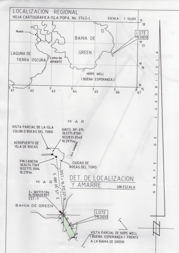
Here's the localization map from our survey. "Lote Medio" shows our lot.
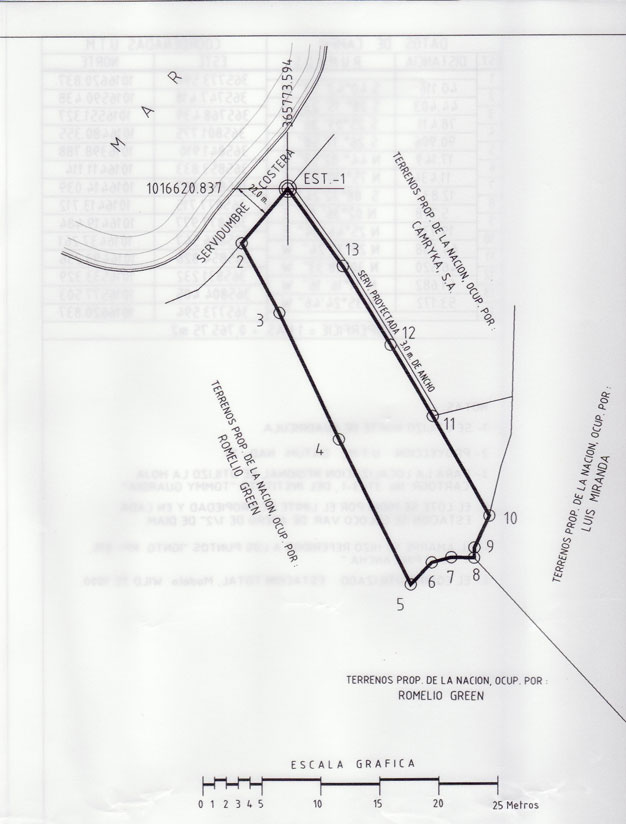
This one shows our lot boundaries and neighboring properties. The property covers 10,765.75 square meters, or just about three acres. As you can see, it's a long, narrow lot. What this doesn't show are the terrain features, in other words, the hills!
Hope this helps. If not, please let us know what we can do to make it more clear. Or, heck, just come visit and see for yourself!
Getting Home From Bocas
When we leave Bocas town, we head due south for about fifteen minutes, across Bahia Almirante, pointed toward a notch in a series of hills and mountains in the distance, headed toward a narrow inlet among the mangrove islands separating Bahia Almirante from Laguna Bocatorito, or Dolphin Bay. The next series of photos shows the mangrove water trail between Bahia Almirante and Dolphin Bay. First, the entrance to the trail.
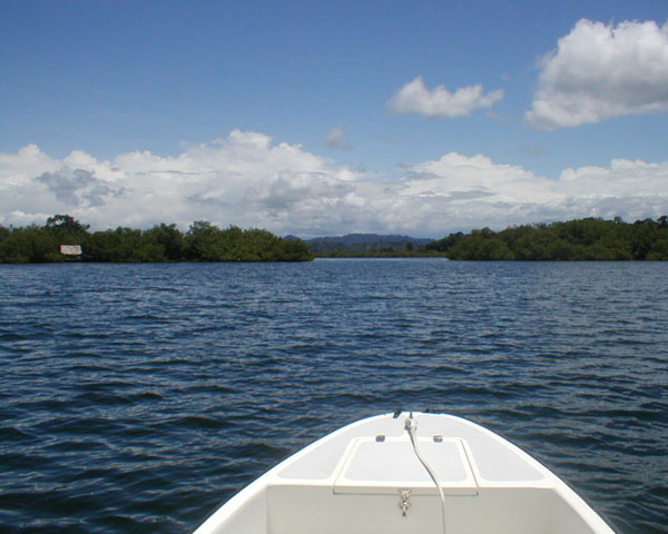
Through the entrance and around the first turn.
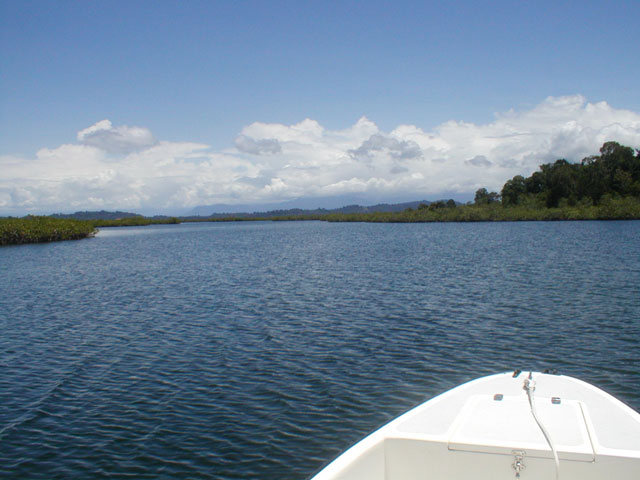
Don't take any of the seductive inlets; they don't go anywhere! Head into the last stretch.
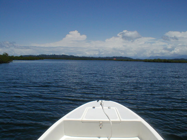
The exit into Dolphin Bay.
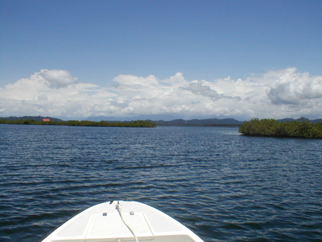
In Dolphin Bay.
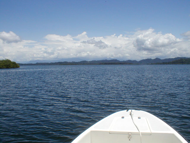
Around the point and headed to the south end, Green Bay, the local name for our end of the bay. The white dots in the center of the middle-left hill are in Buena Esperanza (Hope Well), the little village just west of us.
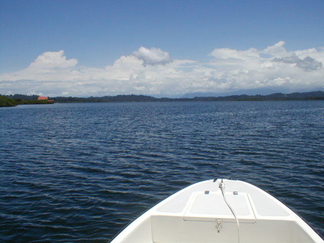
Coming into the end of Green Bay. Camryka on the left, Cerro Velero next, the Greens' property, then Green Acres, Dave and Linda Cerruti's Chocolate Farm. The patch of green on the right is a small point, and around that point is Buena Esperanza.
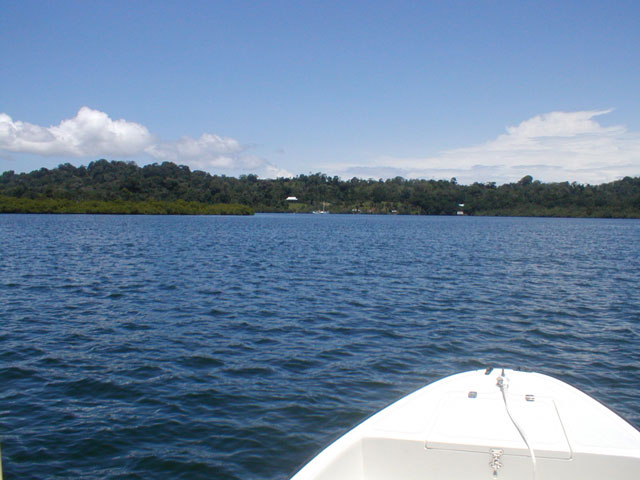
The view from the bay up to Cerro Velero is changing--in a grand way!
Dog Days
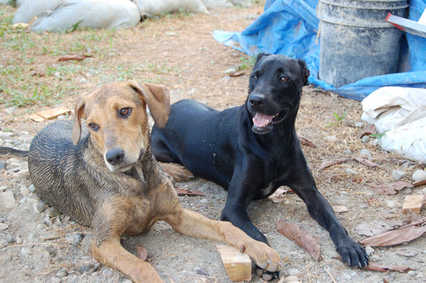
Do you think these dogs mind all the construction?
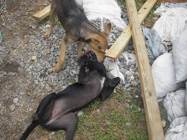
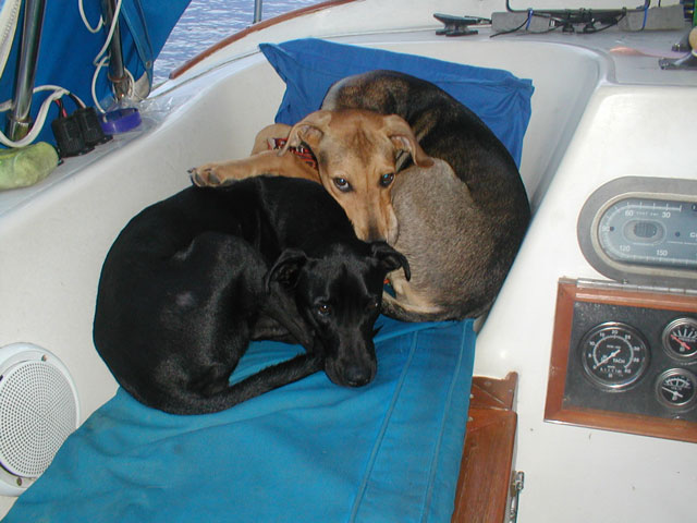
Do you think these dogs like each other?
Stay tuned...
|
![]()